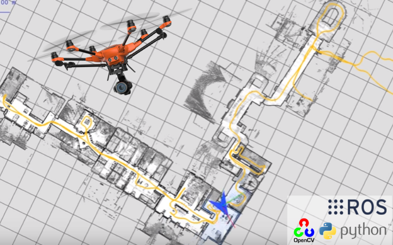
3D Photogrammetry using Drones
Development of Hexacopter and python based tool-chain elements for capturing and pre-processing of data required 3D photogrammetry.
Hi there! I'm an experienced Embedded Systems Developer with expertise in C, C++, and Python. Nice to meet you!
| Location | Phone | |
|---|---|---|
| Philadephia, PA | +1 (929) 300 9992 | vaisakh032@gmail.com |
Personal Projects
The project aims at designing a Quad-Copter that can fly into a environment and prepare a 2D scaled map as wellas a 3D map of the of its surrounding. The 2D map is blue print of the surrounding which is scanned and plotted by a distance measuring sensor which uses pulsed lase light. The 3D output is made possible with the help of photogrammetry process of the images captured by the camera.
